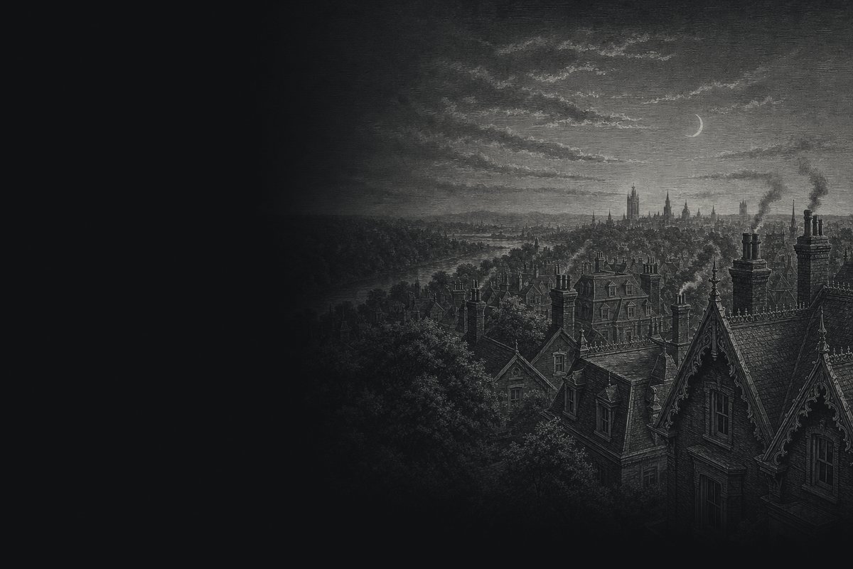
East of Parliament Street · Toronto
Cabbagetown Toronto: A neighbourhood guide to the Victorian streets, the parks and the history
Red-brick rows, narrow tree-lined streets and two old cemeteries, running east from Parliament Street to the edge of the Don Valley. This guide walks the Cabbagetown neighbourhood street by street and takes in the parks and gardens around it.
Why is it called Cabbagetown?
The name comes from a story. Irish immigrants who settled east of Parliament from the late 1840s, the story goes, dug up their front yards and planted cabbages, and outsiders named the district after the crop.
The gardens are long gone. The name stayed with the streets.
The full story of the nameThe Cabbagetown Toronto neighbourhood, street by street
Most descriptions draw the lines the same way: Parliament Street on the west, Wellesley Street to the north, Dundas Street to the south and the Don Valley on the east.
So where is Cabbagetown in Toronto? There is a short answer and a longer one. The short one is that it sits just east of the downtown core, roughly a kilometre and a half east of Yonge Street. The longer one depends on who is asked, because the name has covered more ground at some times than at others. The guide page Where is Cabbagetown in Toronto? maps the heritage districts that now fix the edges.
Inside those lines the Cabbagetown neighbourhood is small and very consistent. The Cabbagetown Preservation Association says most of its houses went up in the 1880s and 1890s, and it is the survival of whole streets from those two decades, far more than any single landmark, that makes the place.
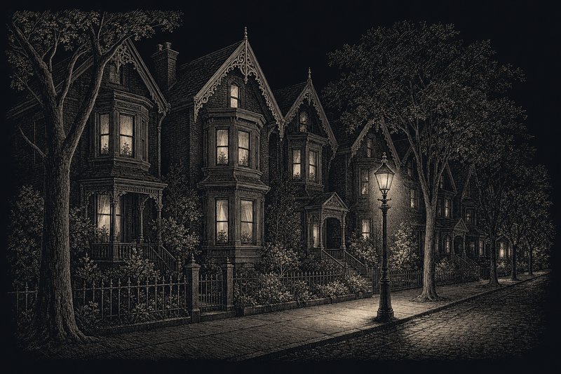
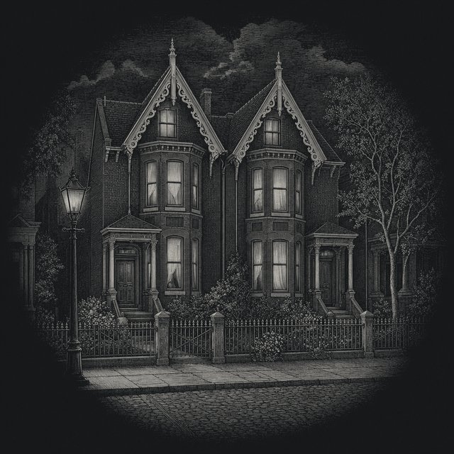
Bay-and-gable fronts, iron fences, porches and carved trim repeat block after block. The house-style spotter helps name what you are looking at.
Parliament Street is the everyday side of Cabbagetown Toronto: groceries, cafés, restaurants and the ordinary shops of a high street. Turn east off it at almost any corner and the traffic noise falls away within a block. Carlton, Winchester and Wellesley carry the longer views; Metcalfe, Sumach, Sackville and the short streets between them carry the rows.
Most visitors to Cabbagetown Toronto come for an afternoon, and the walk below is built for that. One practical note first. Every house on these streets is somebody’s home, and several of the most photographed corners are private lanes. Everything in this guide can be seen from the sidewalk, and that is where it is best seen from anyway.
The walk · 10 stops · about 3.5 km
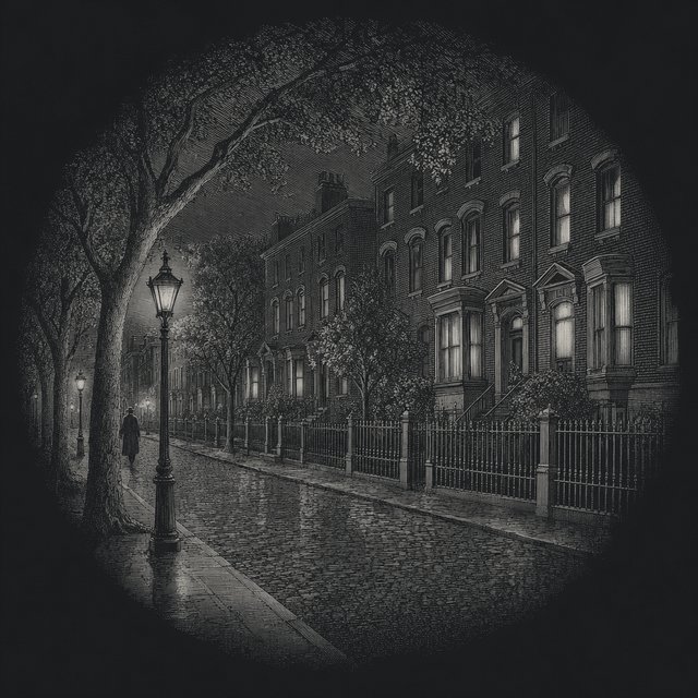
An evening walk, projected
Start at Allan Gardens on the western side, cross Parliament Street and work east through the side streets to the valley, then loop back north to St. James Cemetery. Each stop has its slide.
Plan drawn from OpenStreetMap data (© OpenStreetMap contributors), rotated so the street grid stands upright. The route follows public sidewalks and park paths.
-
1Carlton St at Sherbourne St · just west
Allan Gardens
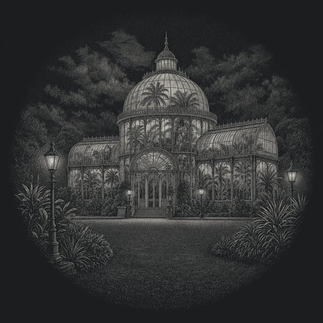
One of the oldest parks in Toronto, a short walk west of Cabbagetown. The Palm House and its sixteen-sided glass dome were designed by city architect Robert McCallum and opened in 1910, after a fire in 1902 destroyed the pavilion that stood here before. Allan Gardens guide
-
2Parliament St at Carlton St
Parliament Street
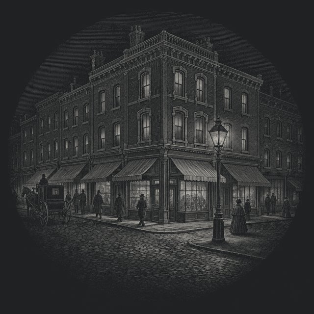
The western edge of the neighbourhood and its high street, which the Cabbagetown Preservation Association calls the heart of Cabbagetown. Shops, cafés and restaurants line both sides; the residential streets start as soon as you turn east. Eating on Parliament Street
-
3Carlton St at Sackville St
Carlton Street
East of Parliament, Carlton carries some of the larger houses in the area, built for the owners of local businesses. Most of the houses in Cabbagetown went up in the 1880s and 1890s, and the bay-and-gable front is the one you will see most. Tell the house styles apart
-
4Spruce St at Sumach St
Spruce Court
Begun in 1913 by the Toronto Housing Company to plans by Eden Smith, Spruce Court is one of the earliest examples of publicly supported rental housing in Canada. Cottage flats and townhouses face grassed courtyards. It is a housing co-operative and private, so look from the street. Cabbagetown history
-
5Carlton St at the valley edge
Riverdale Park West
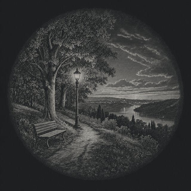
Where the side streets end, the ground drops into the Don Valley. Riverdale Park opened for public recreation in 1880 on both sides of the river, and the west slope has long been a toboggan hill in winter. Riverdale Park guide
-
6201 Winchester St
Riverdale Farm
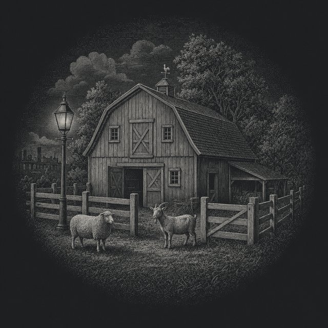
A working farm run by the City, opened on 9 September 1978 on the grounds of the Riverdale Zoo, which operated here from 1894 to 1974. Its oldest building, the Francey Barn, dates from 1858 and was moved here from Markham Township. Entry is free. Riverdale Farm guide
-
7200 Winchester St
Toronto Necropolis
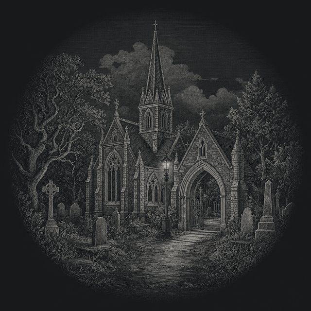
A cemetery on the rim of the valley, established in 1850. Its chapel, lodge and porte-cochère were built in 1872 to designs by Henry Langley. William Lyon Mackenzie, the first mayor of Toronto, and George Brown, a Father of Confederation, are buried here. The two cemeteries
-
8Metcalfe St, Carlton to Winchester
Metcalfe Street
Two blocks and about sixty houses, many behind iron fences. Metcalfe became the first of the heritage conservation districts in Cabbagetown when City Council designated the Cabbagetown-Metcalfe district in 2002. The heritage districts
-
9off Wellesley St E
Wellesley Cottages
A short lane of one-storey workers’ cottages built in 1886–87, each with a steep gable facing the street. The lane is a private street kept up by its residents, so view it from the entrance on Wellesley Street East. The workers’ cottage
-
10635 Parliament St
St. James Cemetery
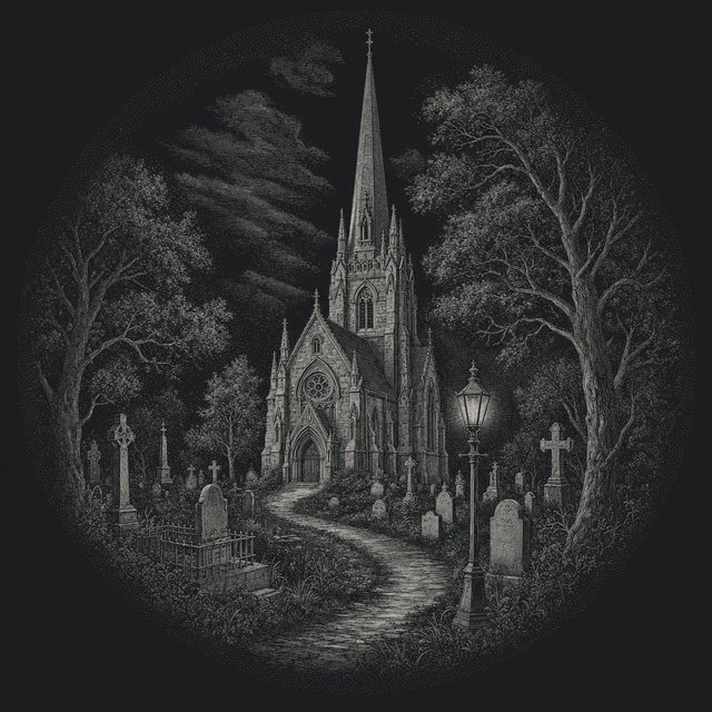
Opened in 1844 and still in use, the oldest operating cemetery in Toronto. Just inside the gates stands the Chapel of St. James-the-Less, built in 1861 to designs by Cumberland and Storm and a National Historic Site since 1990. The two cemeteries
After the last stop
First light over the rooftops
The lamps go out along Winchester Street and the gables come back into view. The rest of the guide is for daylight hours.
Calendar
Through the year in Cabbagetown
What is on in the neighbourhood and around it, month by month.
-
Riverdale Farm
All year
Open every day from 9 am to 5 pm, free. The daily animal presentation is at 11:30.
-
Allan Gardens Conservatory
All year
Open every day from 10 am to 5 pm, free, and warm whatever the weather outside.
-
The winter flower show
Dec · Jan
Over the holiday season the Allan Gardens glasshouses fill with the winter flower show.
-
Cabbagetown Farmers Market
May · Jun · Jul · Aug · Sep · Oct
Tuesdays, 3 to 7 pm in the 2026 listing, in Riverdale Park West by the farm gates. The season runs from May to late October; check with the market before going.
-
Garden tour
Jun
The Cabbagetown Preservation Association opens private gardens for a tour in early June.
-
Cabbagetown Festival
Aug · Sep · 12 and 13 September 2026
A September weekend when Parliament Street closes for stalls, stages and a Sunday evening parade.
-
Fall Festival at Riverdale Farm
Sep
A two-day September weekend of farm activities, with corn shucking and a pancake breakfast.
-
The Boo Barn
Oct
Riverdale Farm’s Halloween weekend in late October: pumpkin carving, crafts and a decorated barn.
-
Holiday in the Patch
Nov · Dec · Saturday 5 December 2026, noon to 4 pm
The Cabbagetown BIA’s holiday afternoon around Carlton and Parliament, with a shop treasure hunt and a family area.
-
Tobogganing
Dec · Jan · Feb
Riverdale Park has two City-designated toboggan hills, one on each side of the valley, inspected through the winter.
-
Winter on the walk
Nov · Dec · Jan · Feb · Mar
Bare trees show the rooflines best: winter is the clearest season to read the gables and bargeboard on the heritage walk.
By daylight
The rest of the guide
The houses, the people who live in them, the neighbourhood’s own festival and the long story of the streets.
-
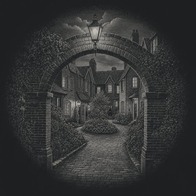
House types, what the heritage districts ask of owners, parking, transit and everyday life on the side streets.
-
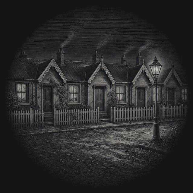
Bay-and-gable, Second Empire, Gothic Revival or a workers’ cottage: a few questions about what is in front of you.
-
The neighbourhood’s September festival: what usually happens, where, and a look back at earlier editions.
-
From the workers’ cottages of the 1880s to the heritage districts, and how the edges of the area moved.
Around the streets
Parks, a farm and two cemeteries
Cabbagetown ends where the ground falls into the Don Valley, and the valley edge holds most of its open space.
- Allan Gardens
The conservatory and its domed Palm House, just west of the neighbourhood.
- Riverdale Park
Parkland on both sides of the Don, a public park since 1880.
- Riverdale Farm
A City-run working farm on the old zoo grounds; free entry.
- The Necropolis and St. James
Two Victorian cemeteries, at the valley edge and on Parliament.
- The Tuesday market
A seasonal farmers’ market in Riverdale Park West.
Riverdale Park is the big one. It spans the lower Don on both sides of the river and has been public parkland since 1880; the west side, below Sumach Street, belongs to Cabbagetown and is a toboggan hill every winter. Riverdale Farm sits at its northern corner on the grounds of the old Riverdale Zoo, which closed in 1974. From the farm gate, the Toronto Necropolis is a few steps away along Winchester Street.
The other green spaces are small and easy to miss: pocket parks, school yards, the courtyards of Spruce Court behind their brick arches. Allan Gardens, a few blocks west across Sherbourne Street, is outside the neighbourhood but is where the walk in this guide begins, partly because its Palm House is the best-known building for blocks and partly because it makes a warm place to start on a cold day.
Then and now
A short history of the neighbourhood
The land east of Parliament was farmland and a village called Don Vale before Toronto absorbed it. Irish immigrants arrived from the late 1840s, many of them poor, and the housing that went up for working families in the following decades was modest: cottages, narrow semi-detached houses, short rows. St. James Cemetery opened on Parliament Street in 1844 and the Toronto Necropolis in 1850, both on high ground above the valley.
The name Cabbagetown once covered a larger area, stretching south of Gerrard Street. In the 1940s much of that southern part was cleared for the Regent Park housing project, and the name moved north with the houses that were left. Hugh Garner’s novel Cabbagetown describes the neighbourhood during the Great Depression, which is the picture many older Torontonians still carry of it.
From the 1970s the area changed again. Professionals bought and restored the Victorian houses, and residents began the long work of protecting the streets. The first heritage conservation district, Cabbagetown-Metcalfe, was designated by City Council in 2002; with the Cabbagetown Southwest district approved in 2024, every residential street is now covered. The history page tells it in more detail, and the Cabbagetown flag has its own small story.
Interval
“With one of the densest collections of original Victorian homes in North America, it offers a rare glimpse into Toronto’s past.”The Cabbagetown Preservation Association
Beyond the neighbourhood
The streets owe their look partly to their status as a Heritage Conservation District, which governs what owners may change on the street face. For a day that goes beyond the Victorian rows, Parliament Street and the blocks around it have a lively dining scene, and Destination Toronto collects helpful tips for exploring the neighbourhood and the Old Town next to it.
An evening out beyond these streets can take in anything from the theatre district to one of the city’s top casinos, and the official site for Toronto lists what is on across the city. Closer at hand, the small Wellesley-Magill Park west of Sherbourne Street is a quiet stop on the way in from downtown.
Questions about Cabbagetown
Where is Cabbagetown in Toronto?
Cabbagetown sits just east of downtown Toronto. The neighbourhood is usually described as bounded by Parliament Street on the west, Wellesley Street to the north, Dundas Street to the south and the Don Valley on the east. Allan Gardens sits a few blocks west of that line. See where Cabbagetown begins and ends for the heritage-district map.
Why is it called Cabbagetown?
The usual story is that Irish immigrants who arrived from the late 1840s, and later Macedonian families, grew cabbages in their front yards, and outsiders named the district after them. Nobody recorded the first use of the name, so it stays a story. The full account of the name covers the versions.
What is Cabbagetown known for?
Its Victorian houses. Cabbagetown Toronto has kept whole streets from the late nineteenth century, and the Cabbagetown Preservation Association describes the area as having one of the densest collections of original Victorian homes in North America, most of them built in the 1880s and 1890s. Every residential street is now inside a heritage conservation district.
Is there a walking route through Cabbagetown?
Yes. The self-guided heritage walk in this guide runs about 3.5 kilometres from Allan Gardens through the side streets to Riverdale Farm, the Toronto Necropolis and St. James Cemetery. The walk map can be used on a phone or printed.
Is Riverdale Farm free to visit?
Entry to Riverdale Farm is free. The farm, run by the City of Toronto at 201 Winchester Street, lists its hours as 9 a.m. to 5 p.m. every day of the year. Check the City listing before a visit, as hours can change for holidays or maintenance. More in the Riverdale Farm guide.
When is the Cabbagetown Festival?
The Cabbagetown Festival takes place every September, with events spread through the streets and parks of the neighbourhood. Dates and the program are published each year by the organizers; the festival page explains what usually happens and where.
Can you visit the houses on the walk?
Only from the sidewalk. The houses are private homes, and Wellesley Cottages and the Spruce Court co-operative are private property as well. The walk is planned so that everything worth seeing can be seen from public streets and park paths.
How do you get to Cabbagetown by transit?
The 506 Carlton streetcar is the easiest way in: it runs along Carlton Street as far as Parliament, then continues east on Gerrard Street, so it passes both the western and the southern edges of the neighbourhood. Routes and diversions change, so check the TTC trip planner before setting out.
Who is buried in the Toronto Necropolis?
Among others, William Lyon Mackenzie, the first mayor of Toronto, and George Brown, a Father of Confederation. The cemetery was established in 1850 on the edge of the Don Valley; its chapel and gate lodge date from 1872. The cemeteries page has more.